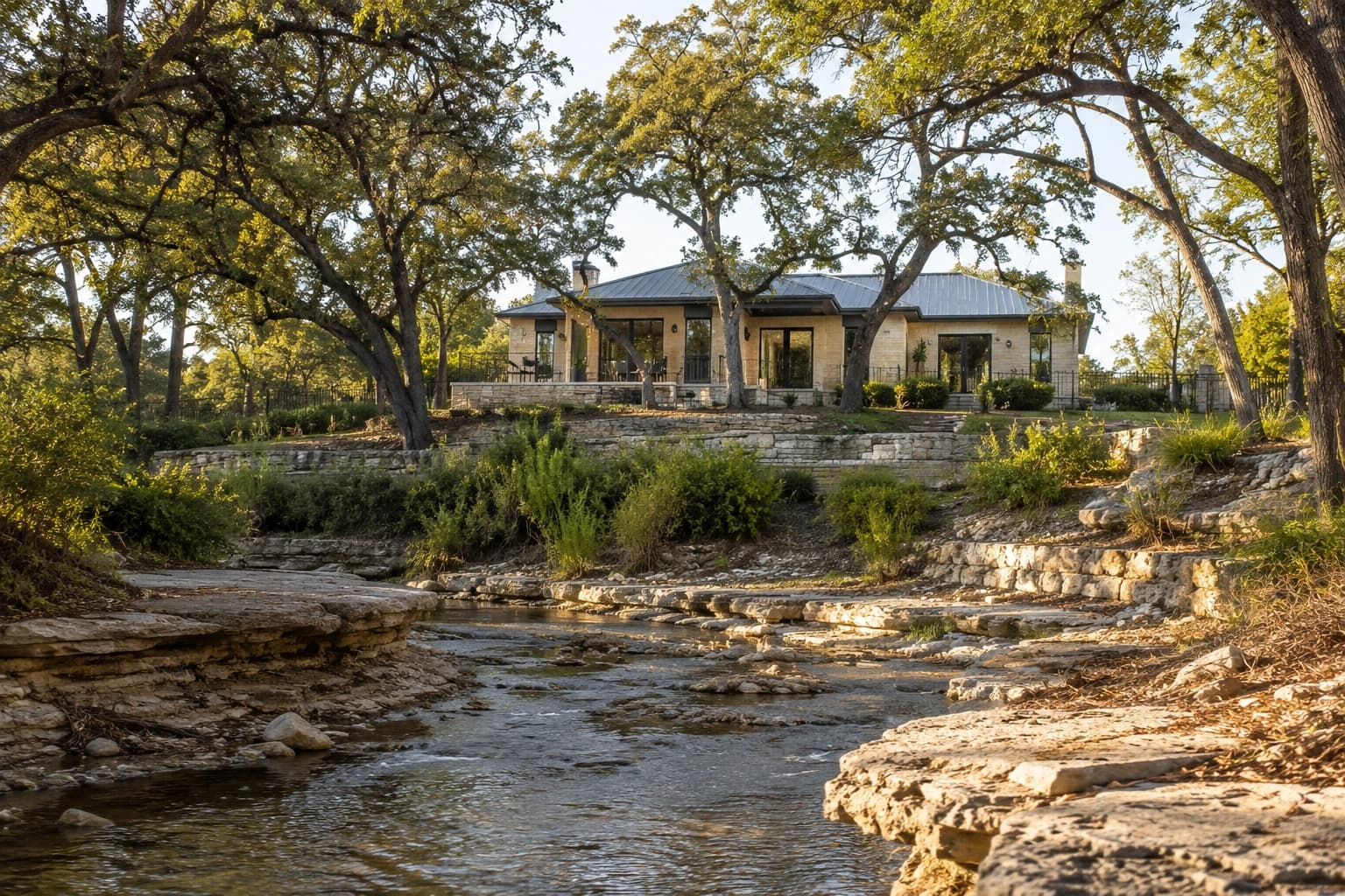
Austin is a city built around water — and water, at times, has built its own case for being taken seriously.
The city's terrain is carved by creeks, springs, and rivers. Barton Creek, Shoal Creek, Onion Creek, Williamson Creek, and the Colorado River all flow through or adjacent to residential neighborhoods. In a normal year, they are amenities. In a wet year, they can be liabilities.
Flood risk is Austin's most underestimated real estate variable. Most buyers never look at a flood map until after they fall in love with a property — if they look at one at all. The ones who look before understand something important about what they are actually buying.
Why Austin Has Significant Flood Risk
Central Texas sits at the edge of what meteorologists call Flash Flood Alley — a geographic corridor where atmospheric conditions regularly produce intense, short-duration rainfall events. Austin has experienced multiple catastrophic flood events in its history, including the 2015 Memorial Day floods that killed 12 people across central Texas and the 2018 Halloween floods that damaged thousands of structures across Travis County.
The physical geography amplifies the risk. Austin is underlain by limestone, which does not absorb water well. Runoff from heavy rain moves quickly into creek channels. The city's hilly terrain funnels water into low-lying corridors — exactly where some of the most desirable residential land sits.
Development has made the problem worse over time. As impervious cover increases — more rooftops, more pavement, less grassland — the same rainstorm produces more runoff into the same creek channels. Neighborhoods that experienced modest flooding twenty years ago can see more significant events today.
FEMA Flood Maps: What Buyers Need to Read
FEMA's National Flood Insurance Program designates flood risk areas on Flood Insurance Rate Maps (FIRMs). The two designations buyers encounter most often are Special Flood Hazard Areas — FEMA Zone A or Zone AE — which represent the 100-year floodplain. This means a 1% annual chance of flooding. Over a 30-year mortgage, that represents roughly a 26% probability of flooding during the loan term. Moderate flood hazard areas — Zone X (shaded) — represent the 500-year floodplain, with a 0.2% annual probability. These areas are less likely to flood than Zone A, but they are not flood-free.
FEMA flood maps are a starting point, not a guarantee. They are updated periodically and are often based on older hydrology data. Austin has remapped portions of the city as development and climate patterns have shifted. A property outside the FEMA floodplain can still experience flood damage in extreme events.
How to Look Up the Flood Zone for Any Austin Property
The City of Austin maintains the Austin Flood Pro viewer (austintexas.gov/floodpro), which shows FEMA flood zones, local creek channels, and City of Austin flood modeling for properties within the city limits. Travis County properties can also be checked at the FEMA Flood Map Service Center (msc.fema.gov). For any property you are seriously considering, confirm the flood zone designation at the specific address — not the neighborhood generally.
Austin Neighborhoods With Significant Flood Exposure
Certain Austin neighborhoods carry higher flood risk than others. Barton Creek and its tributaries affect portions of Barton Hills, Oak Hill, and properties along the creek's residential edge. During significant rainfall, Barton Creek's flow can rise dramatically — a single 1981 storm raised Barton Creek at Loop 360 by over 40 feet. Homes immediately adjacent to Barton Creek face meaningful risk; homes on elevated ground nearby do not.
Shoal Creek runs through central Austin — Clarksville, Hyde Park, and neighborhoods north along the corridor. Shoal Creek has flooded residential streets during multiple events. In 1981, Shoal Creek rose high enough to deposit cars on rooftops in the corridor.
Onion Creek in far south Austin has experienced the most severe and repeated residential flooding in the metro area. After the 2013 and 2015 floods, Travis County and the City of Austin completed a buyout program that acquired and demolished more than 800 homes in the Onion Creek floodplain. Some residential areas near Onion Creek remain.
Williamson Creek in South Austin — running through neighborhoods including Westgate and Oak Hill — has caused residential flooding in multiple events. East Austin's lower-lying sections adjacent to the Colorado River and east of I-35 carry localized flood exposure depending on the specific block.
What Flood Insurance Actually Costs in Austin
If a property is in a FEMA Special Flood Hazard Area and the buyer takes out a federally backed mortgage, flood insurance is required. It is purchased through the National Flood Insurance Program (NFIP) or private insurers.
FEMA's NFIP program underwent significant repricing in 2021 with its Risk Rating 2.0 methodology, which assigns rates based on individual property characteristics including distance from water, elevation, and structure type. Austin properties in high-risk zones commonly pay $1,200 to $4,500 per year in flood insurance, with rates varying significantly based on elevation certificate data and coverage levels.
Properties elevated above the Base Flood Elevation (BFE) qualify for lower rates. An elevation certificate — obtained from a licensed surveyor — documents the relationship between a structure's lowest floor and the BFE. Buyers should request elevation certificates for properties in flood zones before closing; this document directly affects insurance costs and is a legitimate negotiating point in transactions involving flood-zone properties.
Flood insurance also covers less than most buyers assume. Standard NFIP policies cover structural damage up to $250,000 and contents up to $100,000, but do not cover loss of use, temporary housing during repairs, or certain types of water damage that a standard homeowner's policy covers. Buyers in high-risk areas should understand what is and is not covered before purchasing.
Due Diligence Steps Before Buying in a Flood-Exposed Area
Before closing on any Austin property in or near a flood zone, buyers should take five steps. First, confirm the flood zone classification at the specific property address using both the City of Austin Flood Pro viewer and the FEMA Flood Map Service Center tool. Second, request any available elevation certificate from the seller. Third, obtain a flood insurance quote before your option period ends — the cost may affect whether the property is affordable. Fourth, review the property's flood insurance claims history through a CLUE (Comprehensive Loss Underwriting Exchange) report, which sellers can request and disclose. Fifth, during the inspection, ask specifically about water intrusion history, signs of previous flooding, and the elevation of the lowest floor relative to surrounding grade.
Understanding Flood Risk in the 78704 Zip Code
The 78704 zip code — Zilker, Bouldin, Barton Hills, Travis Heights — includes properties with very different flood profiles. Lady Bird Lake's shoreline, low-lying portions of Barton Hills adjacent to Barton Creek, and certain parts of Travis Heights near Blunn Creek carry meaningful flood exposure. The majority of 78704 properties on elevated terrain above these waterways are outside the 100-year floodplain. This variation is why looking at the zip code is insufficient — the specific address and its elevation matter.
Being Outside the Floodplain Does Not Mean No Risk
A property outside the FEMA Special Flood Hazard Area is not immune to flooding. In extreme rainfall events — storms that exceed the 100-year or 500-year design threshold — water finds its way into structures that FEMA maps designate as safe. This is sometimes called sheet flooding or overland flow, and it is not covered by standard flood insurance unless specifically purchased.
Austin's 2015 Memorial Day storm produced rainfall that exceeded 500-year return intervals in some locations. Properties in Zone X — the moderate risk zone — that experienced flooding in that event were outside the 100-year floodplain on paper. The water did not read the map.
What to Do With This Information
Flood zone designation is not a disqualifier. Many attractive, well-priced Austin properties are in or near flood zones — and many of them are appropriately elevated and insured. The buyers who make good decisions in these situations are the ones who go in with complete information: confirmed flood zone, elevation certificate, realistic insurance cost, and a clear understanding of the specific risk the property carries.
A real estate advisor with hyperlocal Austin knowledge can help you read the flood map for a specific property in context — what it means for that address on that block relative to the creek it sits near. That context is what separates a flood zone property worth buying from one that carries risk you have not fully priced.